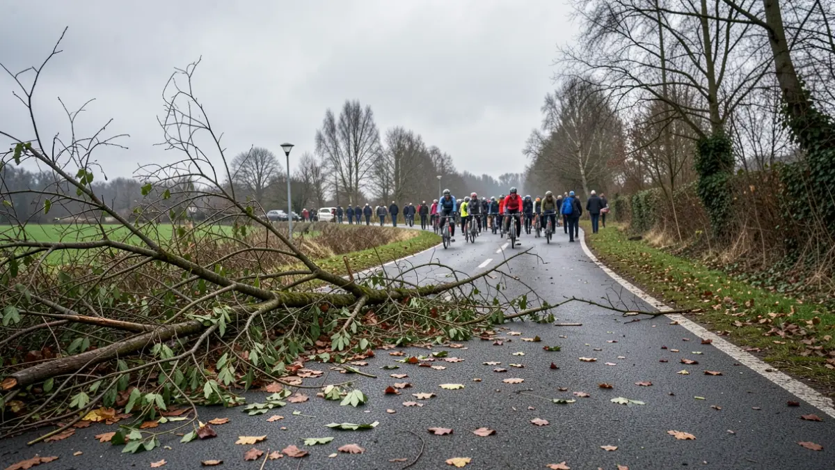
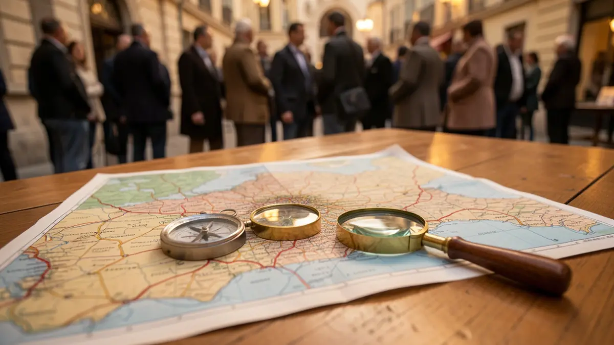
After months of preparation, the Explorers' Challenge project is now underway. The goal is to cover 1,000 kilometers in the Pays de Herve to better understand and document active mobility on the ground.
From September 26 to November 30, 2026, citizens are invited to choose a 2 km² grid square and explore it on foot. Their mission is to observe and document pathways, infrastructure, natural constraints, and cycle-pedestrian signage. These observations will help establish a concrete overview of the active mobility network in the Pays de Herve.
A digital platform has been developed to facilitate this process. Aurélie Remacle, Mobility Project Manager, designed the methodology with the help of a cartographer. Participants can use their smartphones to orient themselves, observe, and record their findings directly in the field.
Participation in this challenge will help to better understand the mobility network and identify action areas for daily walking or cycling.
To learn more about the project, the methodology, and to choose a grid square, interested individuals can visit: https://www.galpaysdeherve.be/mobilites-releves-de-terrain. For any questions, Aurélie Remacle can be reached at 0498 48 53 62 or by email at aurelie.remacle@galpaysdeherve.be.