GrenzRouten.eu hiking website completely renewed

The hiking information platform has been updated with new interactive tools by project partners.

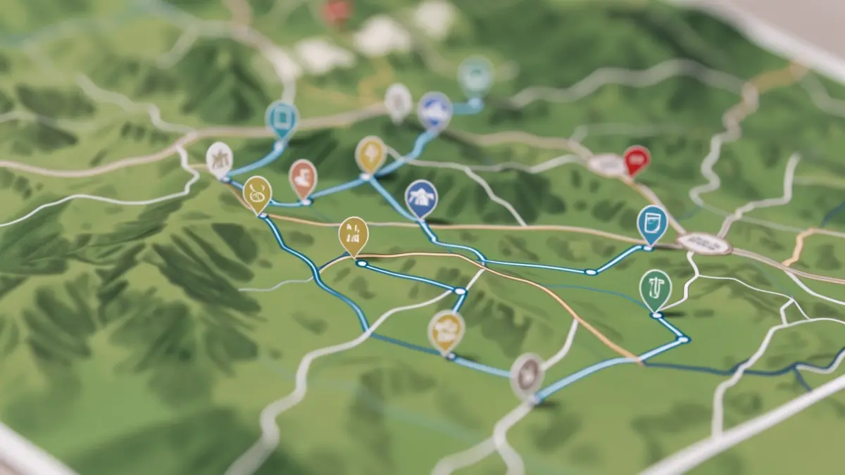
Generic image of a digital map interface showing interconnected hiking routes in a green landscape, with icons indicating points of interest. The aesthetic is clean and modern, focusing on navigation and information.
AI

Generic image of a digital map interface showing interconnected hiking routes in a green landscape, with icons indicating points of interest. The aesthetic is clean and modern, focusing on navigation and information.

The GrenzRouten.eu hiking website has been completely renewed, offering comprehensive information and new interactive tools.

The GrenzRouten.eu website has undergone a complete update. The platform offers a very comprehensive information service that goes far beyond a classic hiking portal. The new website not only brings the information up to date but also incorporates modern interactive tools.
This relaunch was a collaborative project involving the GrenzRouten partners: the City of Aachen, the municipalities of Kelmis, Bleyberg, Raeren, and Vaals, with the support of the planning office aixplan in Aachen. It was carried out as part of the Small Project Fund „People to People“ Interreg Maas-Rhin (NL-BE-DE) and funded by the European Union.

Based on information from the official source: Commune de La Calamine (15/10/2026)